Early bird ticket pricing is available through March 13! This conference is for you if you work for climate resilience in the Bay Area. Join us to dive into our theme of Pace, Scale, and Durability.
Continue reading
Early bird ticket pricing is available through March 13! This conference is for you if you work for climate resilience in the Bay Area. Join us to dive into our theme of Pace, Scale, and Durability.
Continue reading
This new partnership will strengthen the connections between local, regional, state, national, and global efforts for climate resilience and social equity.
Continue reading
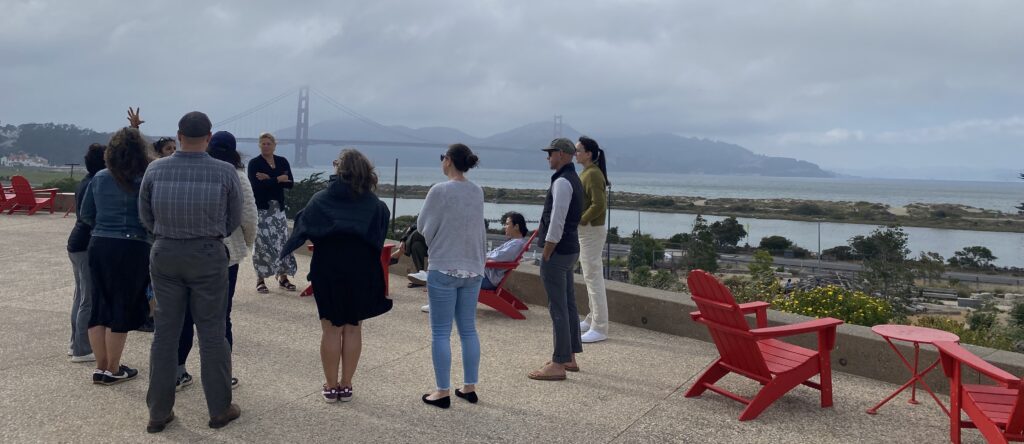
These 14 people made something pretty special happen.
Continue reading
The Legislature and Administration have passed SB 105, pushing $3.2 billion of Proposition 4 funding out the door. It’s go time, and here’s what that means for TOGETHER Bay Area.
Continue reading
Last week I traveled to San Diego to participate in California’s 30×30 Partnership Summit. And what I saw blew my mind.
Continue reading
Introducing the people who will oversee the CLN 3.0 Project
Continue reading
An invitation to the regional conversation about stewardship at the regional scale, and what the CLN 3.0 project will do to advance this conversation.
Continue reading
What can happen when hundreds of conservationists come together? The possibilities are endless!
Continue reading
It’s time to provide your conservation data for the Bay Area Protected Areas Database update
Continue reading