
Calling all Bay Area conservation data compilers!
Do you work for an agency or organization who owns and/or manages natural and working lands and water in the 10 counties of the Bay Area? Do you work on the GIS? Then we have an invitation for you.
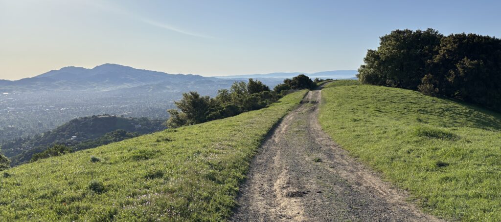
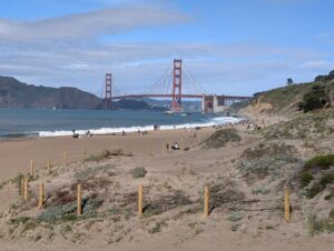
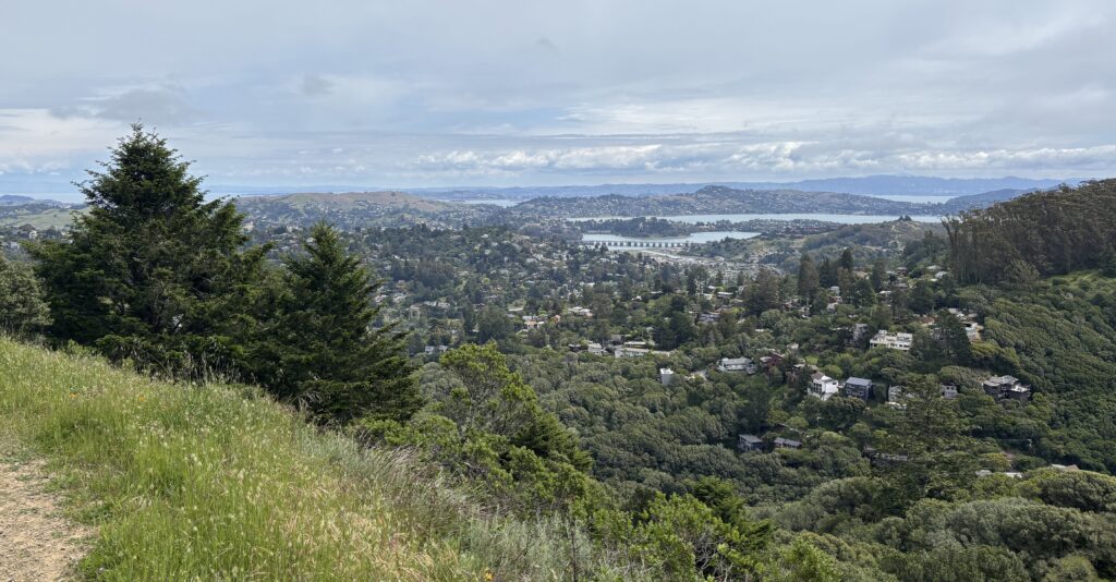
For decades, organizations and agencies around the Bay Area––including dozens of TOGETHER Bay Area members and partners––have collaborated to update a regional dataset of conserved areas. Using this data, about every five years, we evaluate our collective progress toward the Conservation Lands Networks (CLN) regional conservation goals and many geography-specific habitat goals. This is one way that we coordinate regionally to support local land conservation efforts in service of regional and state goals.
We invite you to contribute to the Bay Area Protected Areas Database update with the latest and greatest data about land acquisition, conservation status, and more.
Please send in your most accurate boundary and attribute (e.g., acquisition date, public access status, GAP Status) GIS data using the 30×30 Toolkit. While this BPAD update is separate from 30×30 efforts, we are leveraging the thoughtful instructions for sharing GIS data that the Toolkit provides. You can use the information there as a full guide to updating both baseline data and GAP codes. Bonus: Your data will also improve accuracy of the 30×30 accounting and the California Protected Areas Database (CPAD) and California Conservation Easement Database (CCED).
Need help? Let’s start a conversation! We know that data updates aren’t as simple as a single transaction. You’ll have questions. We’ll have questions. If you would like help sharing your data, email [email protected].
FAQs
Who is managing the data collection?
- TOGETHER Bay Area is partnering with GreenInfo Network to collect your conserved areas GIS data and produce a 2025 Edition of the Bay Area Protected Areas Database (BPAD).
How will this data be used?
- Your data will be included in the release of a 2025 Edition of the BPAD, a subset of the California Protected Areas Database (CPAD), and will be available for download from bayarealands.org in June 2025.
- Here’s the best part: We use these data to assess progress toward the CLN 2.0 habitat goals. Annual results are featured in the CLN Progress Dashboard and 5-year results are featured Progress Reports (the latest report was released in December 2024).
What if my agency recently submitted data using the 30×30 toolkit?
- We’re collecting data for acquisitions through December 31, 2024, and we’ll appreciate the most up-to-date data you have, regardless of date.
What if my agency doesn’t have GIS, but we do have data in another format?
- We can work with a number of data types! Please email [email protected] to discuss the best way to share your data.
How does this fit into TOGETHER Bay Area’s priorities?
- It fits perfectly! Updating the BPAD is one way we support the region’s efforts to conserve 50% of lands by 2050. And it’s also a way we facilitate regional coordination. Check out our 2024-2028 Strategic Direction to learn more.
What’s the Conservation Lands Network?
- The Conservation Lands Network (CLN) is a regional strategy that sets goals, tracks progress, provides tools, and catalyzes on-the-ground land conservation in the San Francisco Bay Area. The CLN articulates two types of science-based and community-driven goals: a set of five overarching regional conservation goals and a much larger set of habitat-specific goals. Learn more here.
Got more questions?
- We’re here to help! Email [email protected] to start a conversation.
Thank you for submitting your data by May 23, 2025 so the region can measure our progress towards conservation and habitat goals!