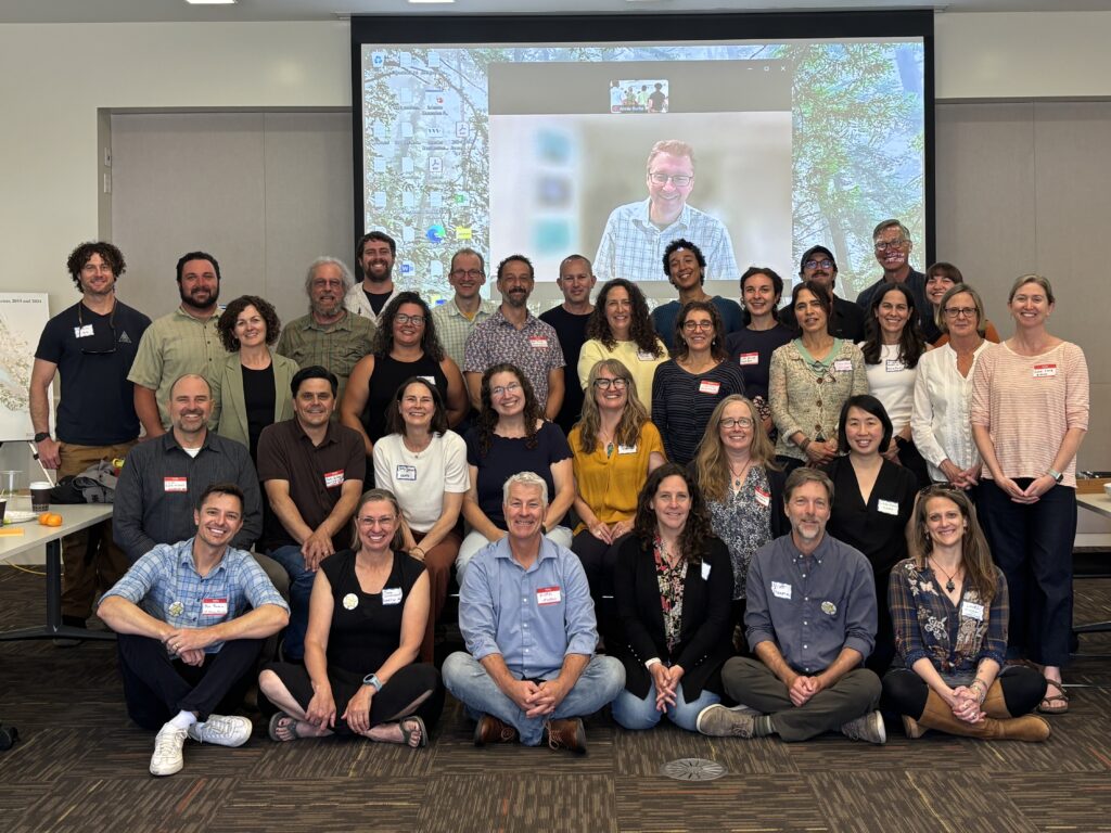
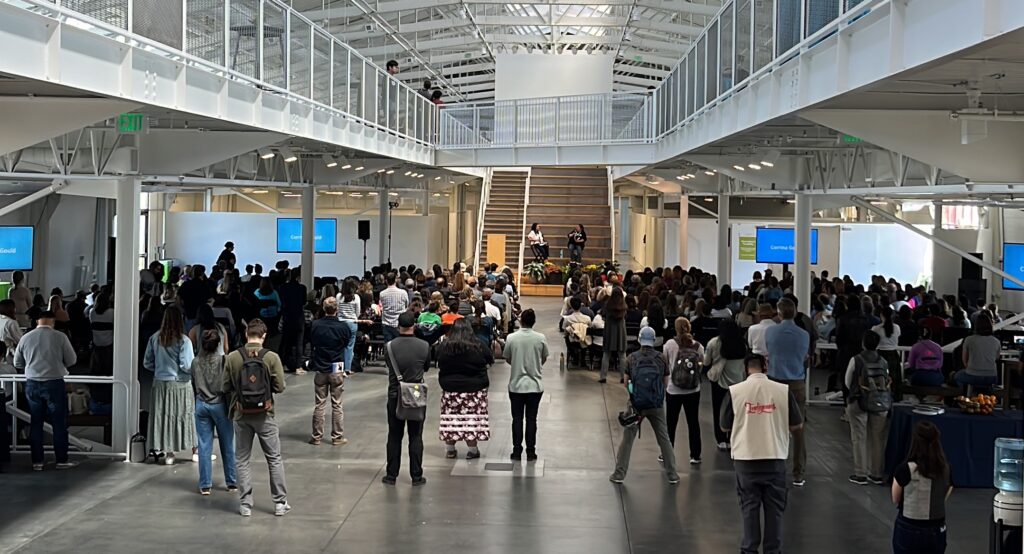
Kicking off the CLN 3.0 Steering Committee!
Introducing the people who will oversee the CLN 3.0 Project
Kicking off the CLN 3.0 Steering Committee!
Introducing the people who will oversee the CLN 3.0 Project
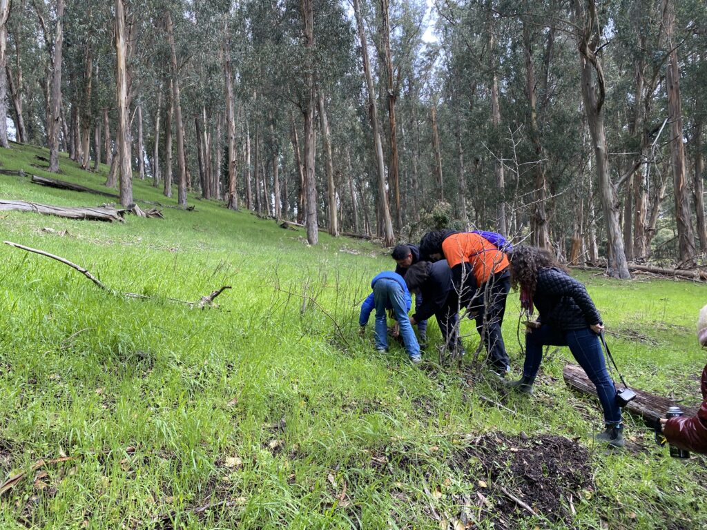
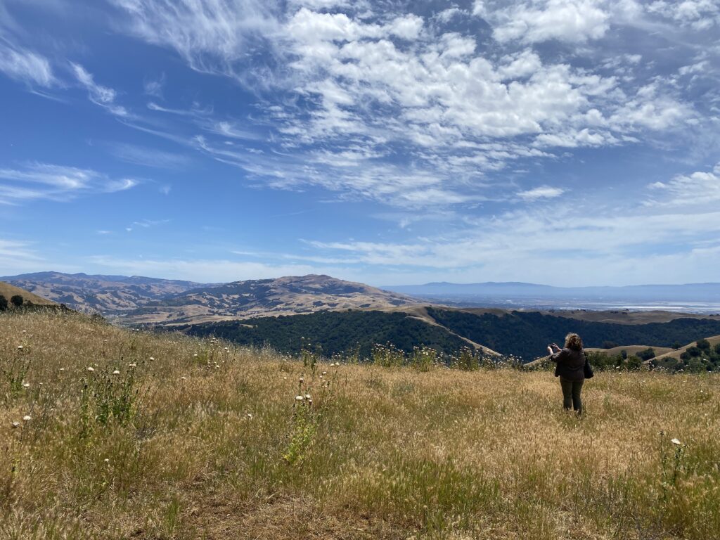
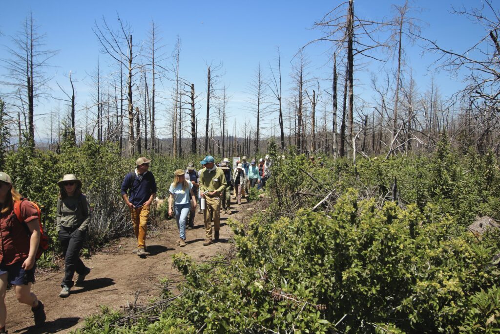
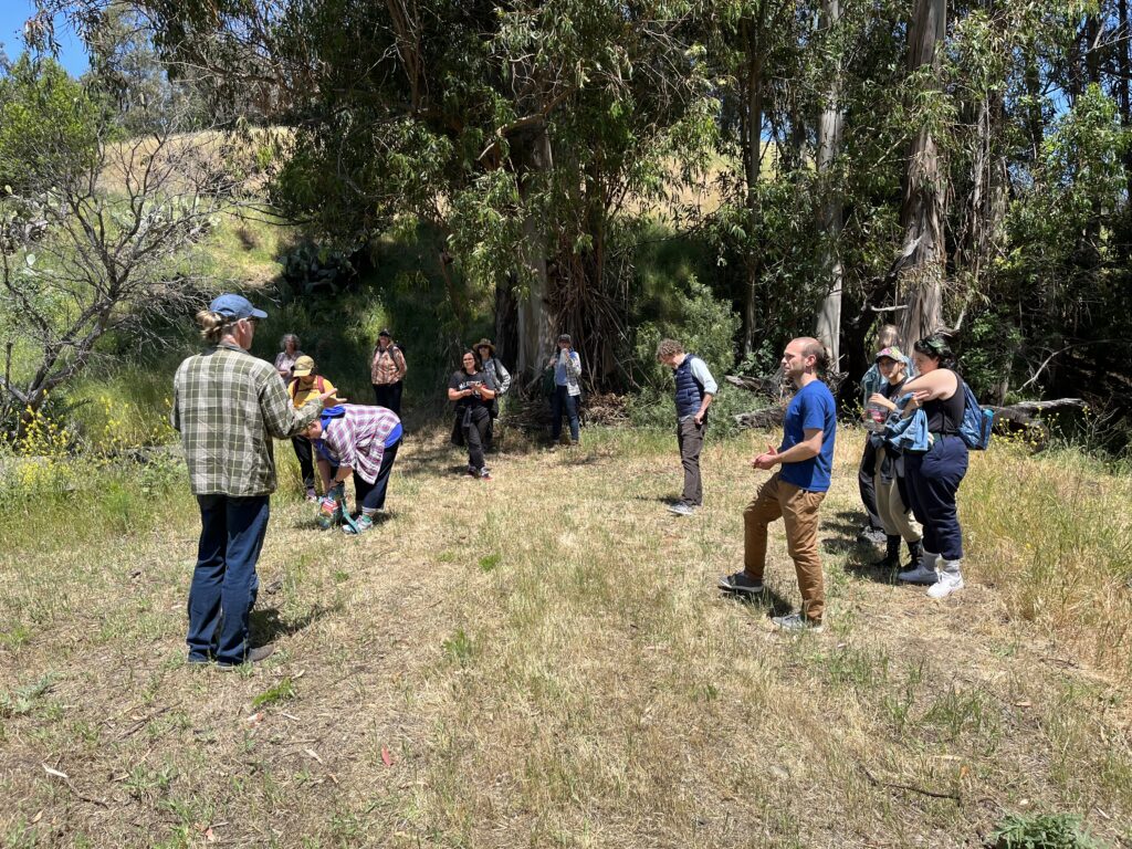
Conversation about Stewardship
An invitation to the regional conversation about stewardship at the regional scale, and what the CLN 3.0 project will do to advance this conversation.
Calling all GIS data compilers!
It's time to provide your conservation data for the Bay Area Protected Areas Database update