
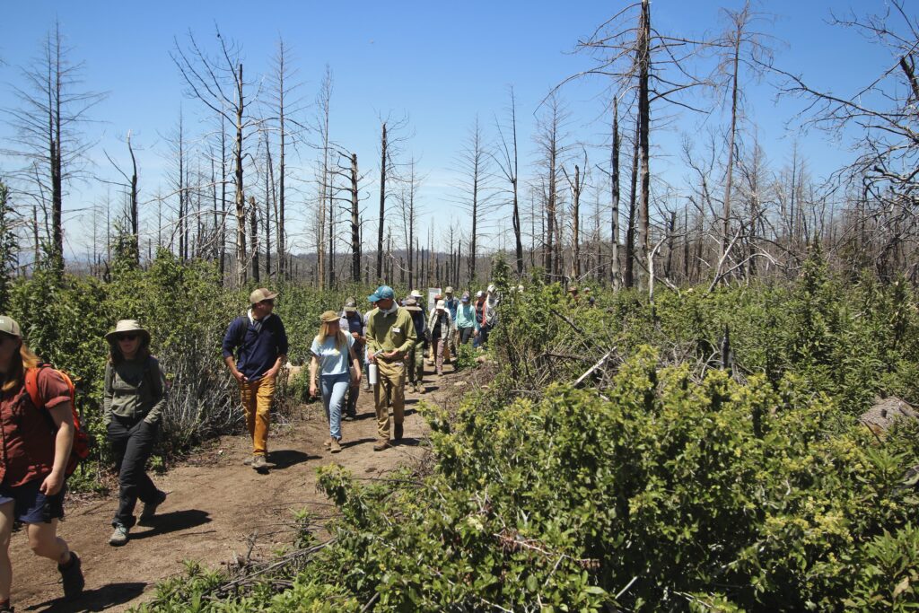

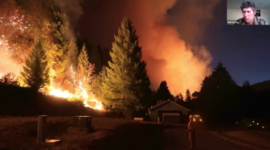
Putting out the fire on the Wildfire Data Working Group
After four years of sharing data about fire, we’re closing down the Wildfire Data Working Group. But the recordings live on YouTube!
Golden Gate Biosphere Network now a part of TOGETHER Bay Area
This new partnership will strengthen the connections between local, regional, state, national, and global efforts for climate resilience and social equity.
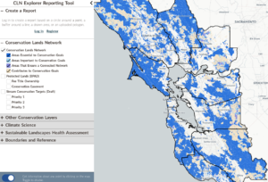
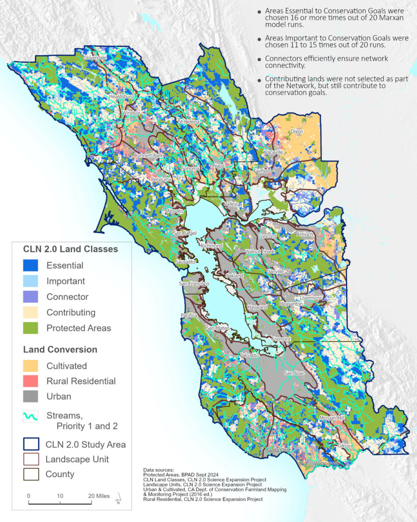
Survey! Tell us about how you use the CLN
We want to hear from you if you use the Conservation Lands Network. Help us learn!