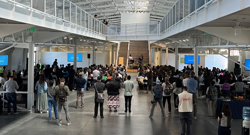
Conversation about Stewardship
An invitation to the regional conversation about stewardship at the regional scale, and what the CLN 3.0 project will do to advance this conversation.

Conversation about Stewardship
An invitation to the regional conversation about stewardship at the regional scale, and what the CLN 3.0 project will do to advance this conversation.
Calling all GIS data compilers!
It's time to provide your conservation data for the Bay Area Protected Areas Database update
Survey: Financial & Community Impacts
Survey Says: Federal Orders Are Having Regional Impact In February 2025, we surveyed TOGETHER Bay Area members and partner organizations about the real and potential consequences of recent executive and secretarial orders.