
33% on the way to 50%
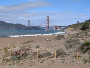
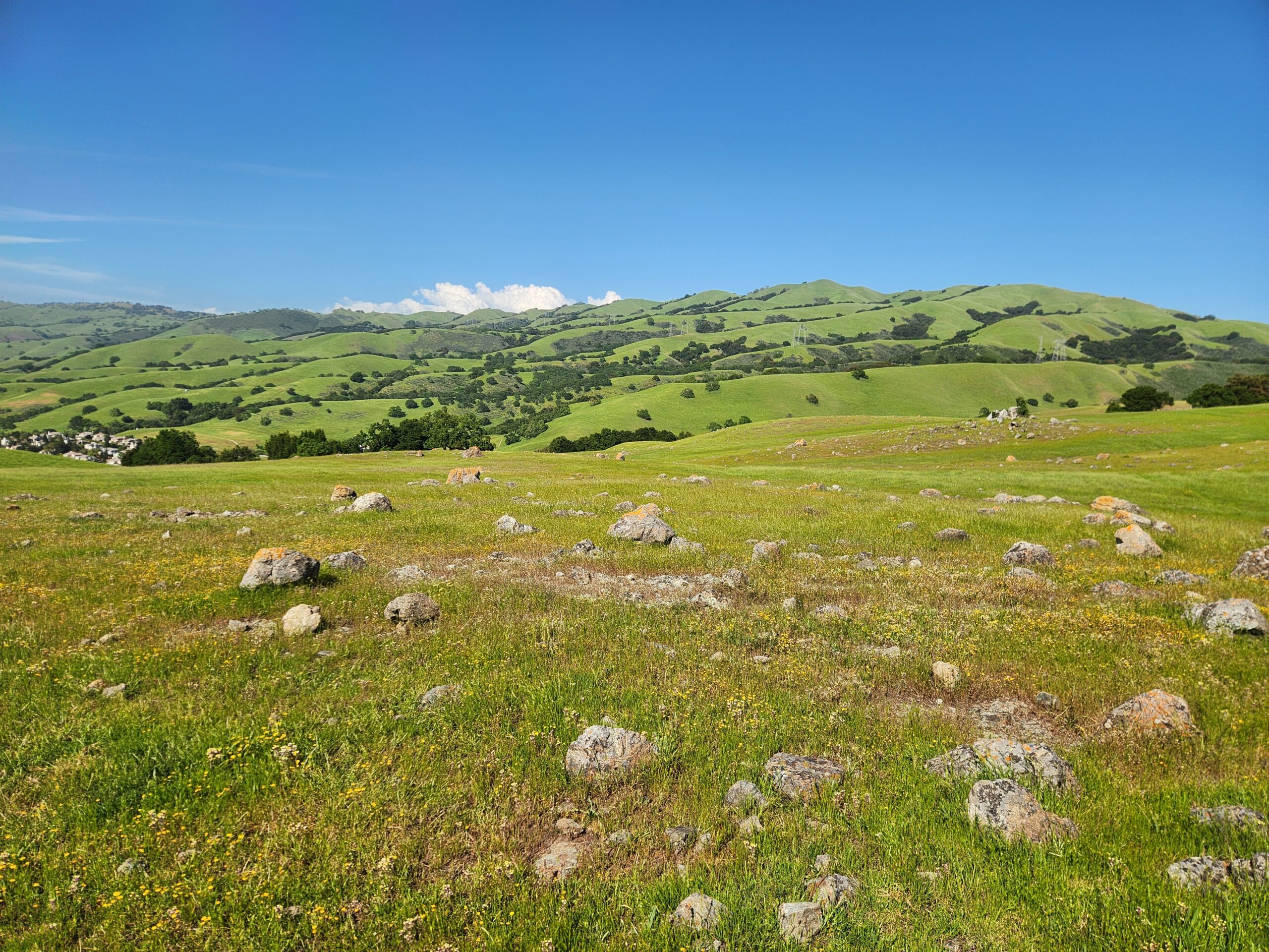
Land conservation is happening across the Bay Area. And it’s staggering to think how far we’ve come. Since 2002, when tracking began in earnest, conservation organizations have added more than 441,000 acres to the region’s conserved lands network. That’s more than half the area of Yosemite National Park. These areas provide equitable access to nature, strengthen climate resilience, support native wildlife, safeguard ecosystems and communities, and bring us closer to our collective goal: conserving 50% of Bay Area lands by 2050.
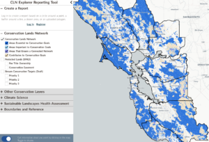
We track this progress in the Bay Area Protected Areas Database (BPAD), the region’s most comprehensive inventory of conserved lands. Funded by the State Coastal Conservancy, and updated annually in partnership with GreenInfo Network, TOGETHER Bay Area’s BPAD is a foundational dataset that informs local and regional action, state funding and policy, the region’s 50×50 goal, and California’s 30×30 goal. We’re excited to announce the release of the 2025 Edition of BPAD and share some amazing highlights from the past year.
What's new?
This year’s release captures conservation activity through May 2025 and includes the following highlights:
- 1,555,450 total acres now conserved across the 10-county Bay Area – up over 24,000 acres from last year.
- 33% of the Bay Area’s 4.8 million terrestrial acres are now conserved – a significant milestone that meets the 30×30 target regionally and keeps us on the path toward 50% conserved by 2050. Check out how this breaks down by county.
- Since 2002, when the BPAD started, the region has added over 441,000 acres to the protected lands network – a 40% increase.
- Examples of working together to conserve essential parts of the Bay Area:
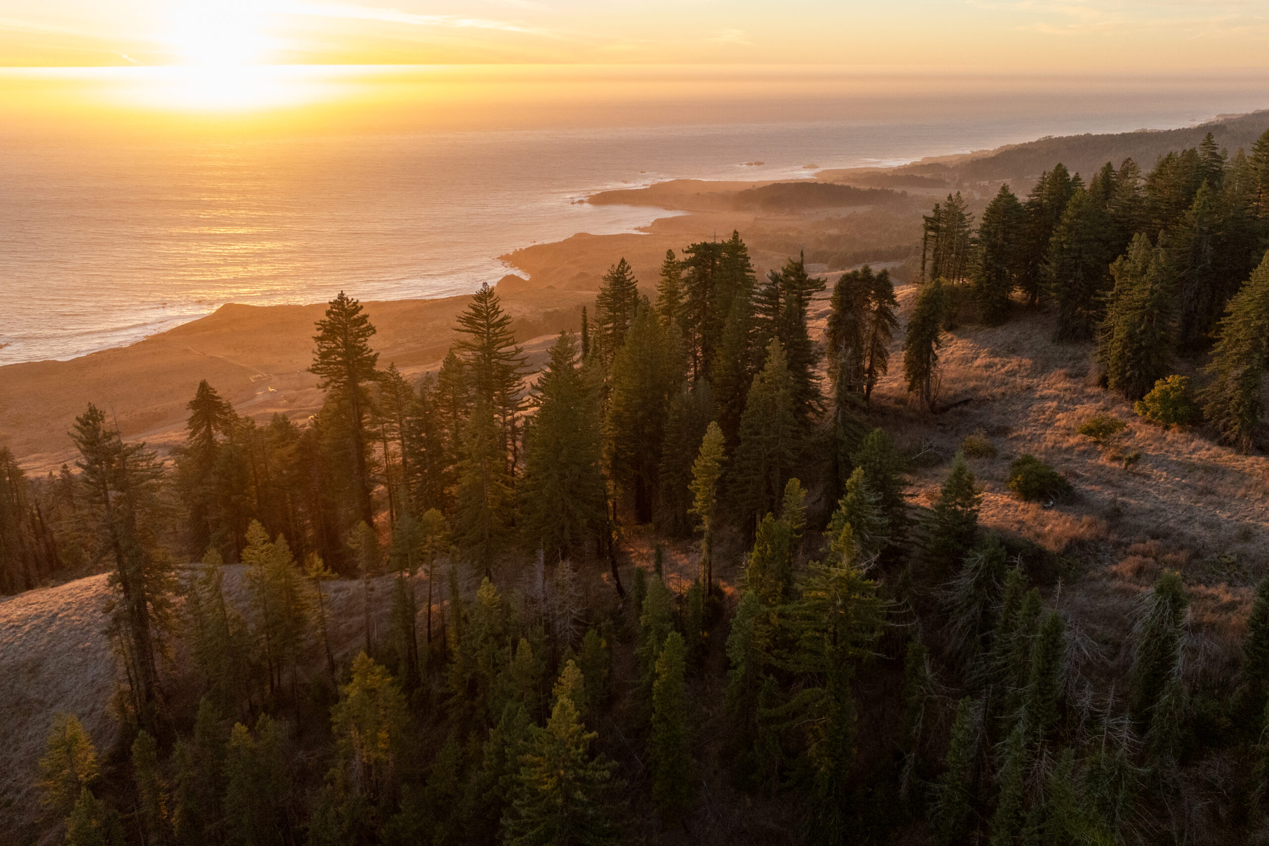
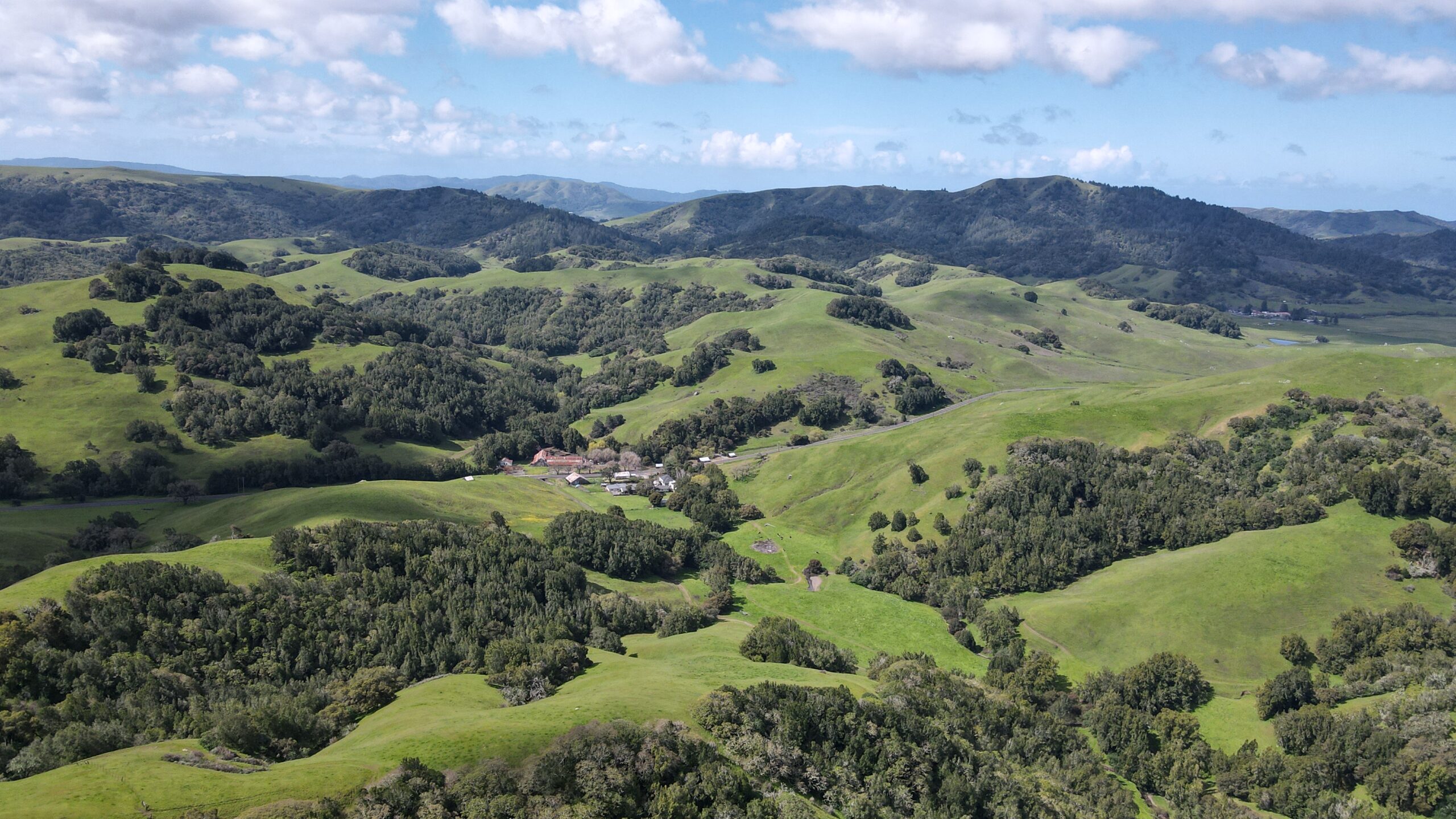
Sonoma Coast Redwoods, a 1,624-acre property adjacent to Fort Ross Historic State Park purchased by Save the Redwoods League.
Conservation Lands Network profile:
Composed primarily of redwood-Douglas-fir forests and moderate grasslands, both of which are underrepresented in regional conservation goals. Over 98% of the parcel is classified as priority land, with 82% considered Essential to accomplishing regional habitat goals in the Sonoma Coast Range Landscape Unit.
The area contributes meaningfully to closing gaps for CLN coarse-filter targets such as Cool and Moderate Grasslands and fine-filter targets like northern spotted owl and old-growth redwood forest. With diverse topography and significant carbon storage the property is resilient in the face of climate change.
Richmond Ranch, a 3,654-acre property located southeast of San Jose conserved via a joint effort involving the Santa Clara Valley Habitat Agency, Santa Clara County Department of Parks and Recreation, The Conservation Fund, Moore Foundation, Wildlife Conservation Network, Wildlife Conservation Board, California State Coastal Conservancy, Valley Water, and Metropolitan Transportation Commission.
Conservation Lands Network profile:
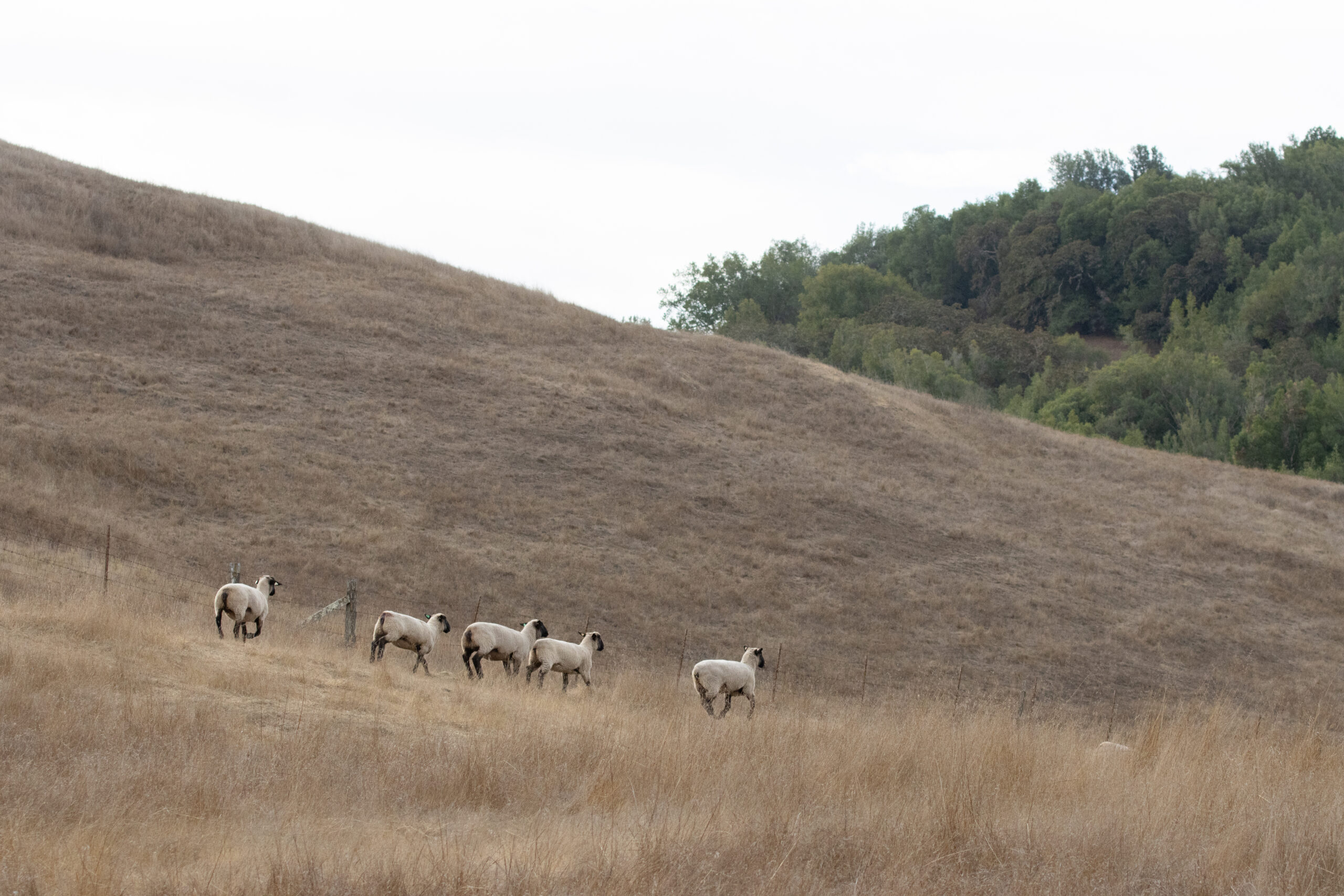
25% of this property is considered Essential to contributing to conservation goals, according to the CLN. 53% of Richmond Ranch contributes to important wildlife linkages, making it a significant addition to preserving and building wildlife corridors, while also providing suitable habitat for multiple special-status plant and wildlife species, including Bay checkerspot butterfly, California red-legged frog, California tiger salamander, Crotch’s bumblebee, mountain lion, western burrowing owl, fragrant fritillary, Santa Clara Valley dudleya, Mount Hamilton thistle, and Metcalf Canyon jewelflower.
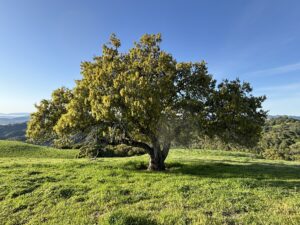
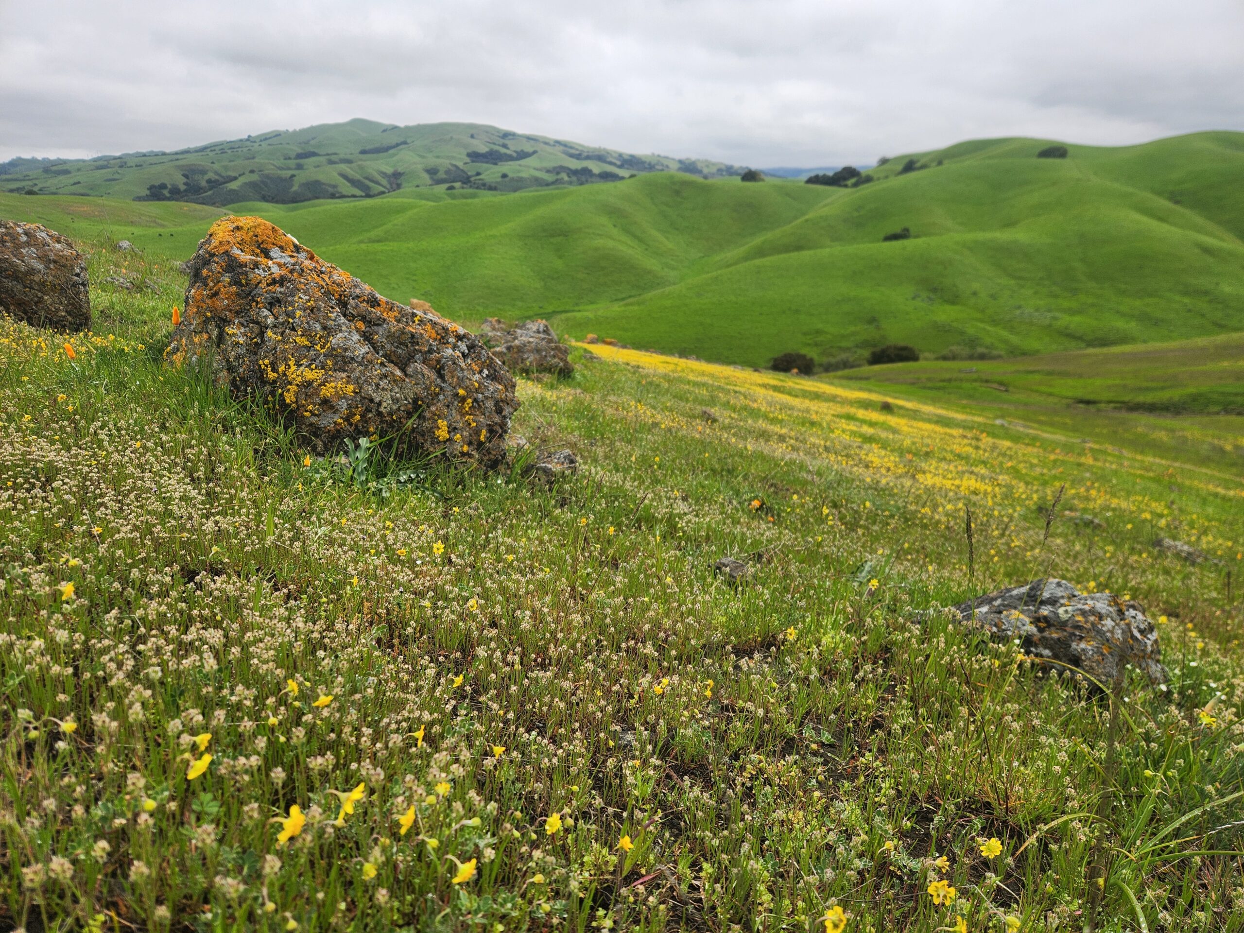
Corda Family Ranch, a Marin Agricultural Land Trust conservation easement on a 903-acre working landscape.
Conservation Lands Network profile:
84% of its area ranked as Essential to achieving regional habitat goals in the CLN. The ranch helps close conservation gaps for valley oak woodland and serpentine grassland — both critical coarse-filter targets in the Marin Coast Range Landscape Unit. It is part of an identified landscape linkage and supports species like the California red-legged frog and burrowing owl. Having prime grazing lands and situated in a drinking water supply watershed, Corda Family Ranch exemplifies how land conservation, agriculture, biodiversity, and community goals can align.
Why this matters
BPAD helps align our region’s collective conservation work with state-wide goals like 30×30 (protecting 30% of California by 2030) and our regional goal of 50×50 (conserving half of Bay Area lands by 2050). It provides vital evidence of momentum, and it identifies the gaps we still need to close. With 33% of the Bay Area’s land base now conserved, the region has surpassed the 30×30 target locally – a milestone that underscores the importance of regional coordination and continued investment. The recently published California 30×30 Progress Report by CA Natural Resources Agency highlights the Bay Area as a leader in advancing this statewide goal as part of Pathway 1: Regional Coordination (see page 19!).
More than acres
The health of the land is more than the number of acres that are conserved. Protecting the land from development is just the starting point. Read this post about how we’re thinking about the importance of stewardship at the regional scale. The BPAD could also help us track how we are caring for those lands. Through the CLN 3.0 project (2025-2028), we will explore ways to integrate stewardship information in future releases to better reflect the ongoing work to manage, restore, and maintain the ecological health of protected places. Stay tuned for updates in the coming months.
Explore the data
Want to learn more? This summary sheet includes county-by-county breakdowns, access categories, agency types, and more. And, the full dataset and summary sheet are available at www.bayarealands.org.
Gratitude
This release would not be possible without the contributions of land trusts, public agencies, and community-based organizations across the region. Your data makes this shared resource stronger each year. Thank you! A special shout out to these organizations:
- Land Trust of Santa Cruz County
- Midpeninsula Regional Open Space District
- Marin County Parks
- San Francisco Public Utilities Commission
- Save the Redwoods League
- Sonoma County Ag + Open Space
- Sonoma County Regional Parks
Thanks to the State Coastal Conservancy for its ongoing and generous support of BPAD and the Conservation Lands Network.
(Note: Any information submitted to CPAD or CCED through calands.org or the 30×30 Toolkit are automatically included in BPAD.)