
Survey Says! The Conservation Lands Network guides strategic land acquisition
Earlier this spring, we kick started the Conservation Lands Network (CLN) 3.0 Update in a very TOGETHER Bay Area way – by bringing folks together, asking questions, and figuring out how the tool could better serve the region.
The 3.0 Update is an opportunity to sharpen and strengthen how TOGETHER members and partners use the CLN to advance land conservation. Understanding how the CLN tools (Explorer, Database, report) are accessed and used can serve as a guide to ensure that we are prioritizing what needs to be most sharpened. We circulated a survey across the CLN network asking for insights into how often they use the CLN, what parts of the CLN tools are used most often, and what datasets are pulled most frequently.
95 people completed the survey (wow!), with a large group of respondents identifying as GIS-proficient professionals. Here’s what we learned:
- The CLN is mainly used for land acquisition. The tool is primarily used for land acquisition planning. The tool is also used for regional planning and personal learning to lesser degrees.
- CLN is used intentionally. Of those using the tool, 50% use the tool less than once a month and 26.5% use the tool once a year. This suggests that the tool isn’t something that is used often, but it is used with strategy and intention to help specific projects move forward.
- There are data layers that are used often and some barely at all. 76% of the respondents use the Priority Conservation Area layer (learn more about it below), making it the layer used the most. Evapotranspiration (1989-2018) is used the least, with only 2% of respondents having used it.
- More education about the CLN would be helpful. Users feel they are not fully leveraging the tool, even experienced GIS professionals.
So what do we do with this information?
What we learned is that there are opportunities for improvement with how we present and communicate about the data in the CLN. In fact, the highest-impact opportunities for users is not user-interface website redesign, but:
- Clear guidance on how to use data, or how to use the data better
- Real-world use cases by role and sector
- Targeted outreach to potential users (especially to planners and government agencies)
How can we do that with the 3.0 Update?
With this feedback, our team is excited to ideate new and better ways that the CLN Explorer Tool can provide clearer instructions, since long absence from the tool can make people forget where features are located. In addition, there might be an opportunity to bring more connection and hands-on learning to CLN users through things like virtual and recorded workshops and training with clear use case examples and instructions
Did you fill out this survey? Thank you! We are grateful for your time and perspective. The input you provided in the survey will inform decisions on how the CLN 3.0 Update can best provide information and help users navigate the information.
Things are just getting started with the CLN 3.0 Update. More and more convenings are taking place, target species decisions are being made, and fine scale vegetation data is being used to draft some of the project’s baseline maps. The CLN 3.0 Update is moving and we are excited to have the survey’s findings guide the way.
Stay tuned for more updates on the CLN 3.0 Update!
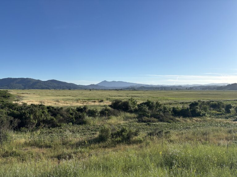
PS: Are you wondering what the Priority Conservation Area layer is in the CLN? Here is the answer!
Lands that provide agricultural, natural resource, scenic, recreational, and/or ecological values and ecosystem functions. These areas are identified through consensus by local jurisdictions and park/open space districts as lands in need of protection due to pressure from urban development or other factors. PCAs are categorized by four designations: Natural Landscapes, Agricultural Lands, Urban Greening and Regional Recreation. Source: Association of Bay Area Governments