
Survey! How do you use the CLN?
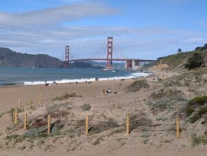
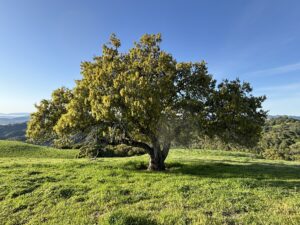
The Conservation Lands Network (CLN) is a regional strategy that has been setting goals, tracking progress, providing tools, and catalyzing on-the-ground land conservation in the San Francisco Bay Area since 2006. Check out the Explorer Tool, the 2.0 Report, and the maps. All of this was created to support the region’s conservation community’s work for 50% of lands conserved by 2050.
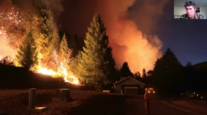
It has been seven years since CLN 2.0 was released and a lot has changed (understatement!). We want to learn how the CLN is used now as we work on the 3.0 update. That’s where you come in.
We invite you to complete this User Assessment Survey.
We welcome a wide range of perspectives! We want to learn from people in and outside the CLN network, even those who may not be sure it applies to them.
The survey will help us identify how you use (or maybe don’t use) the CLN, the Explorer tool and all its layers, the database, the report, and other tools. We estimate this should take 13 minutes to complete. And we appreciate your time and energy in helping us make the CLN 3.0 as positive and productive as it can be.
We’d love to hear from you by February 12th at 5:00 PM PST.
And:
- Know someone else who might use the CLN and should take this survey? Pass it along!
- Got questions? Email us at [email protected]
- Got suggestions? For any ideas related to the CLN (and, yes, we are talking anything!) go ahead and drop your idea or question here